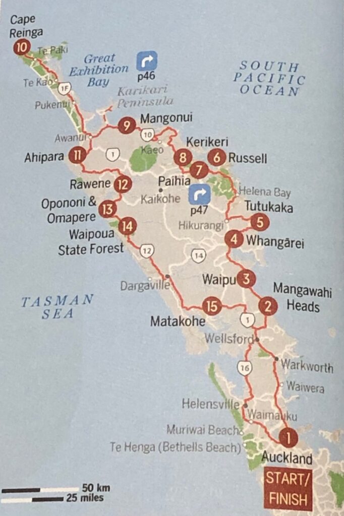
Our self-driving exploration of New Zealand’s North Island started from Auckland, and led us through beautiful green countryside – on the east coast – to the very north end of the island. Then back to the west coast, somewhere halfway between Cape Reinga and Auckland.
Day 62, Wednesday, November 6: Mangonui and Taipa
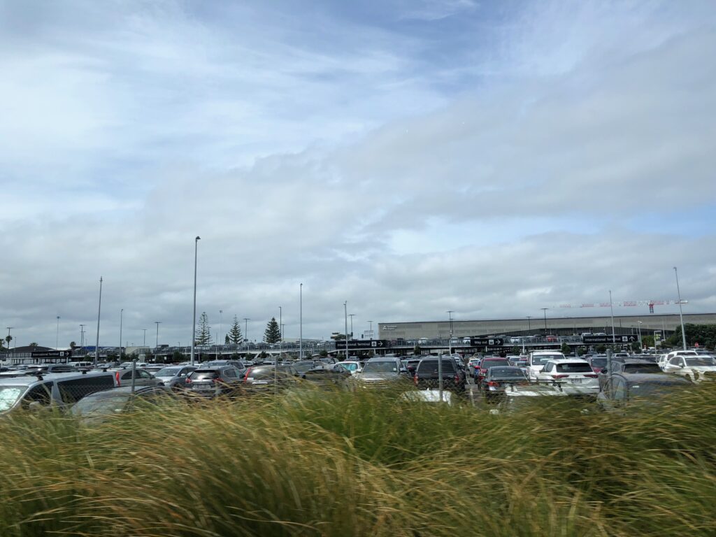
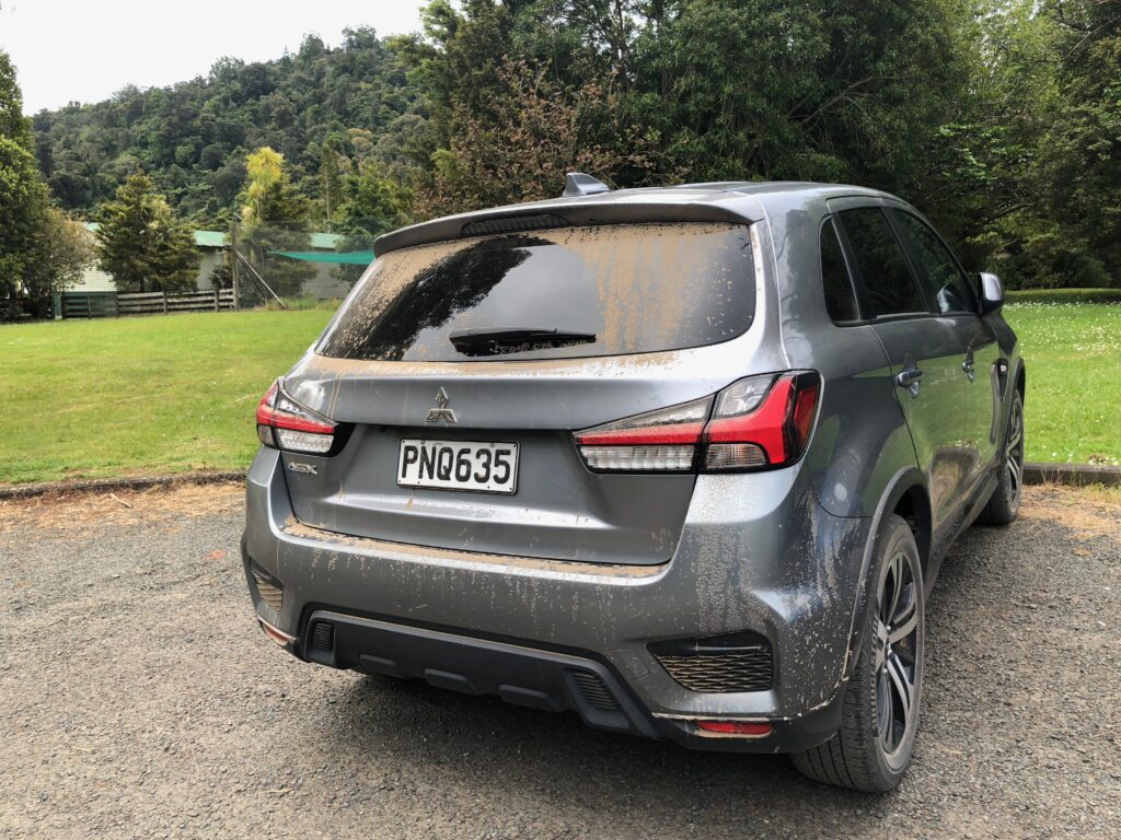
In the morning, Robyn drove us to the Auckland International Airport where we picked up a rental car. It was 11 am, and we were ready for our drive north. But wait! How to get out from the parking lot? We accidentally ended up in a paid parking lot and only with the help of one of the employees of the rental car agency were we able to get out from there. Finally, we were on our way. It was almost noon! Not a very uplifting start of the journey.
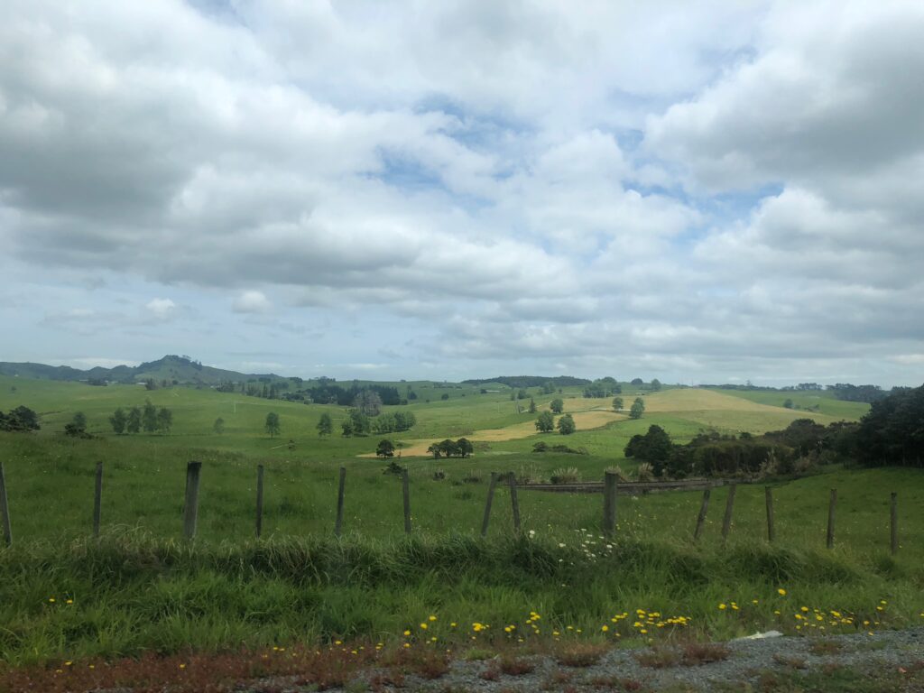
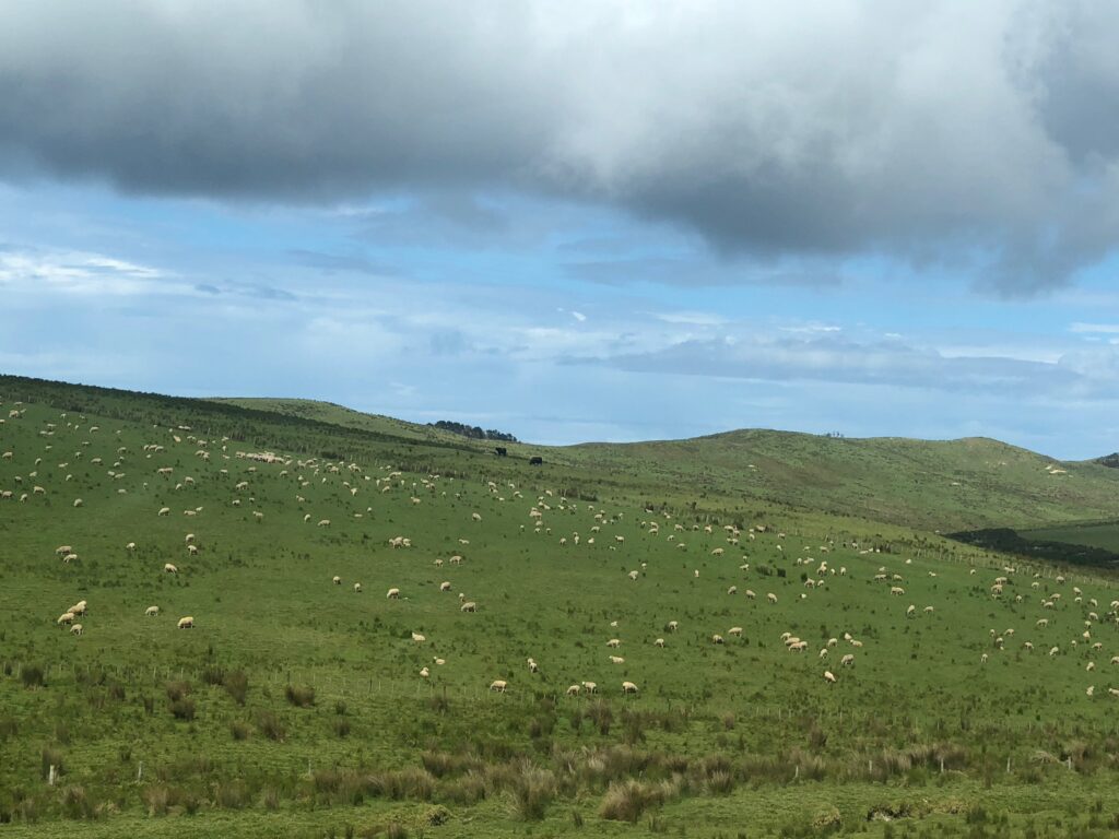
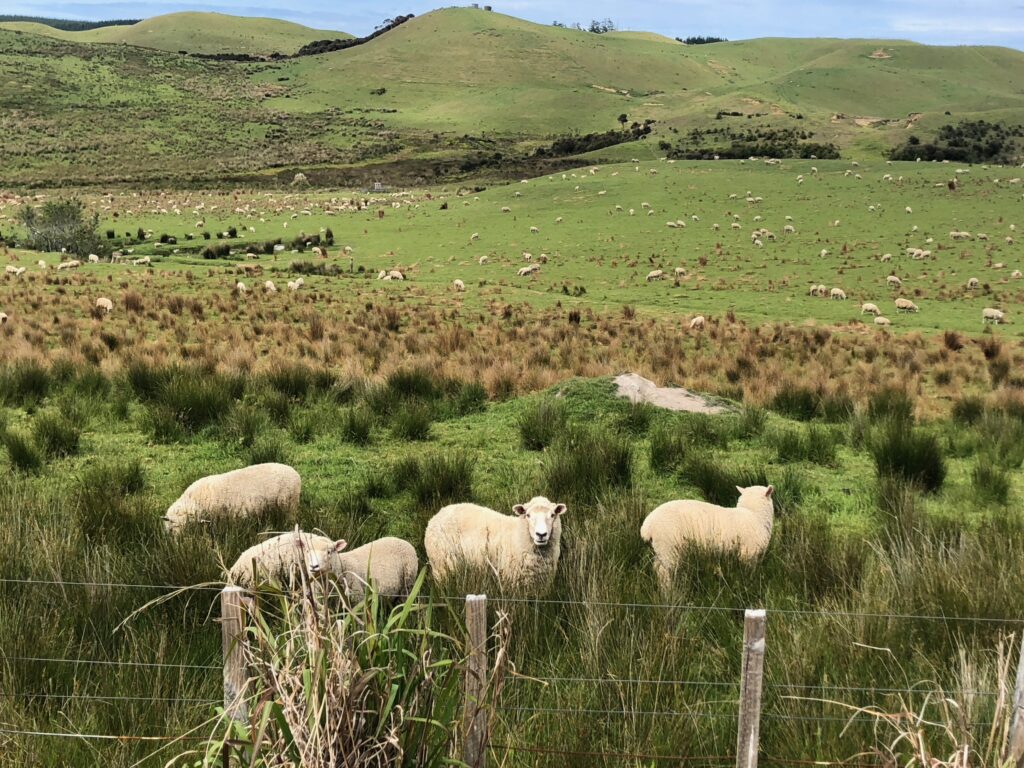
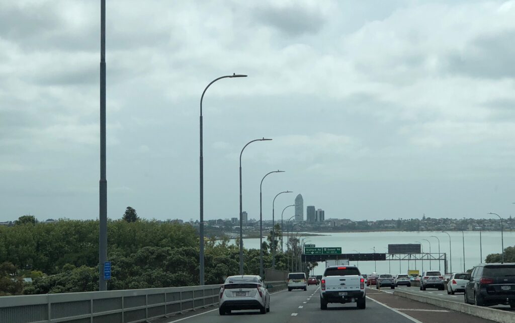 We drove through typical farm country. Beautiful greenery everywhere, mountains, and some sheep.
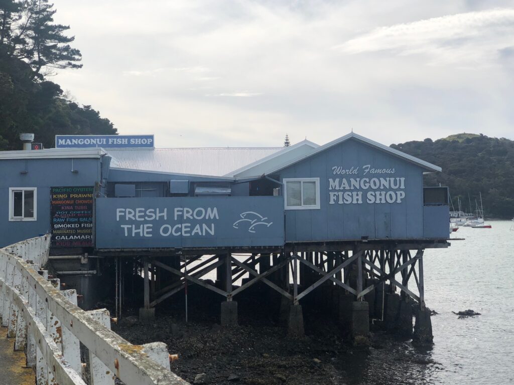
 Reached Mangonui in the afternoon, around 4:30, and had our late lunch/early dinner in the world famous Mangonui Fish Shop. We heard about this place from Robyn. We even watched a video about it – they apparently have the best fish and chips in New Zealand. We were very much pleased with our food – the fish was incredibly delicious; the chips were melting in our mouth! (By the way, we were also amazed by the questions/comments of the Kiwis about the American presidential election.)
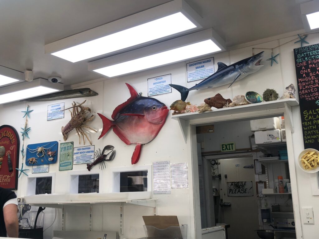
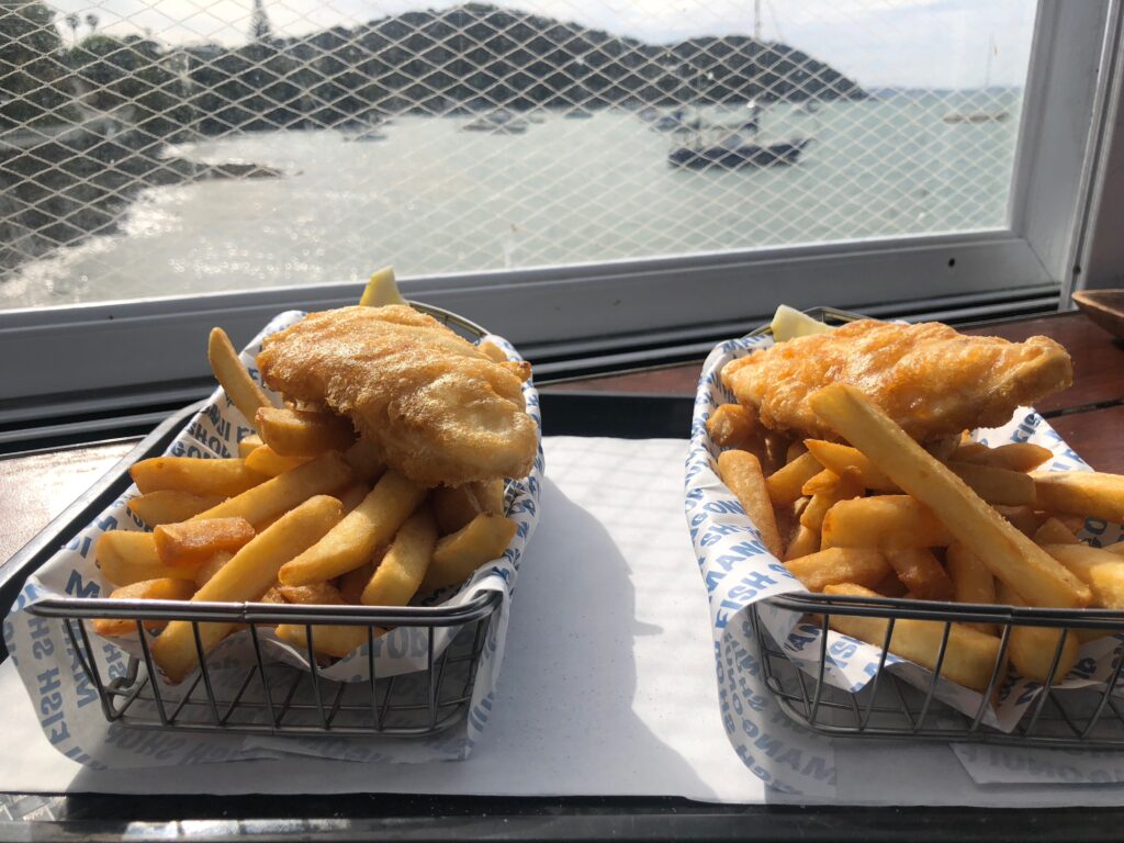 By 6:30, we reached our accommodation in Taipa. Had a short walk on the windy, but lovely Taipa Beach.
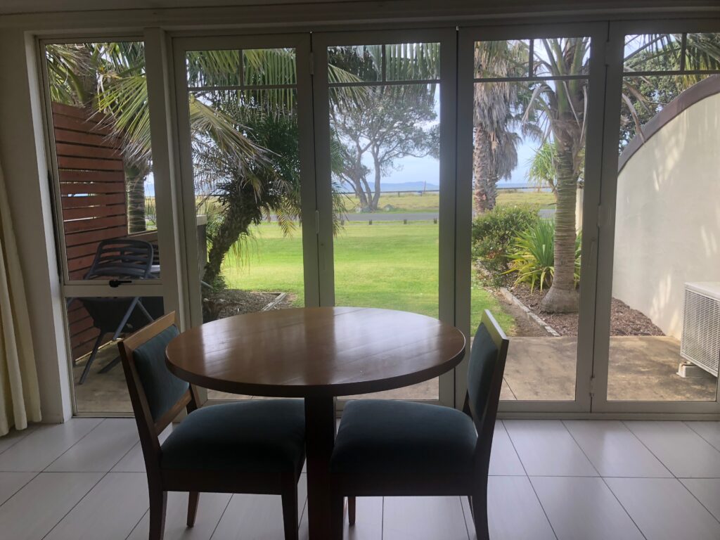
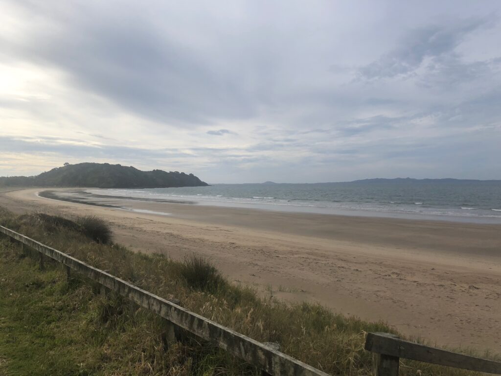 Early to bed after lots of driving.
Day 63, Thursday, November 7: Cape Reinga and Dargaville
After a not very refreshing sleep and learning about the results of the American presidential election, we were not really in a mood for anything. But we were on an epic trip, and we had to continue.
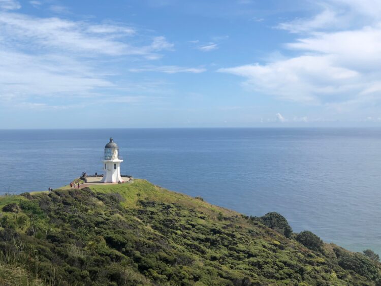
After driving through the beautiful countryside for an hour and half, we reached the most northern point of New Zealand, Cape Reinga.
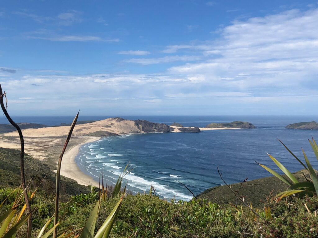
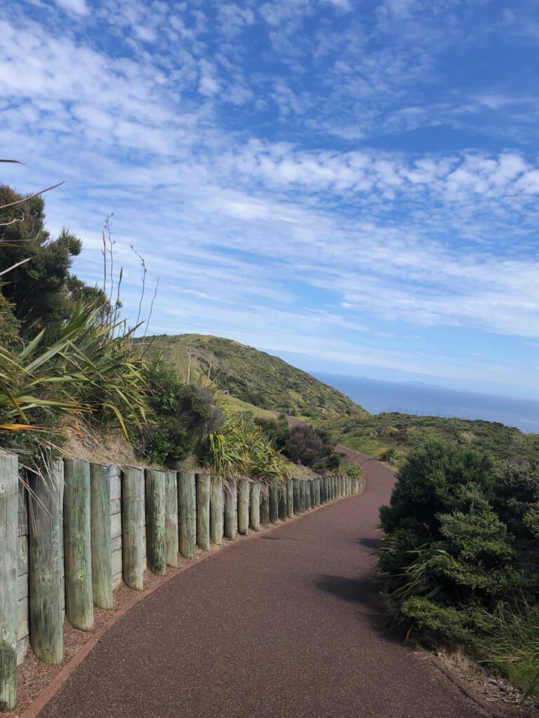
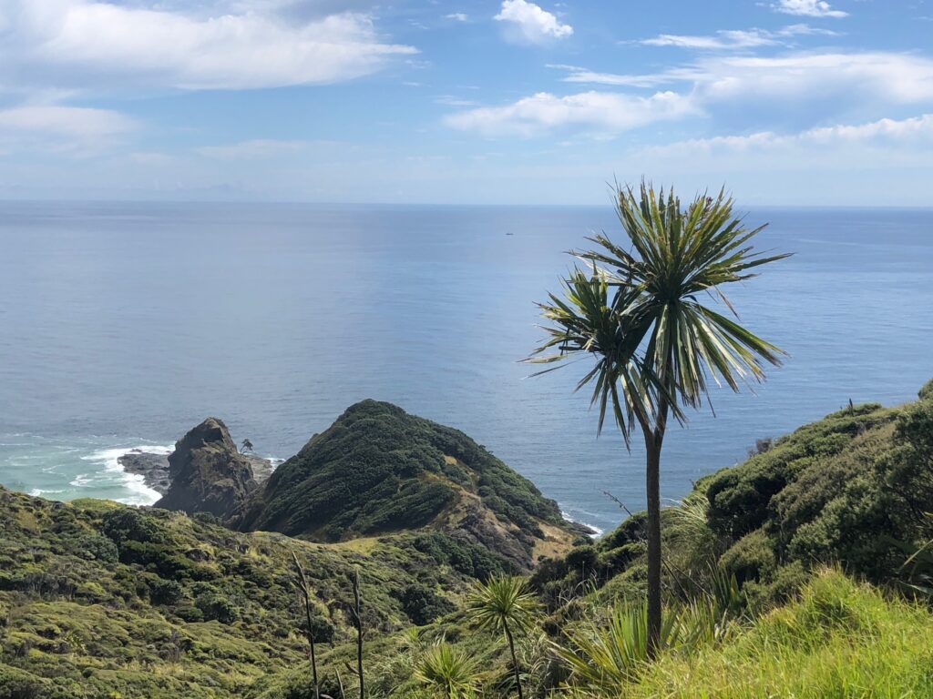 It has a lighthouse that shone the first time in 1941, and it’s one of the first lights that ships can see when arriving from the sea. It’s a stunningly beautiful place where the Tasman Sea and Pacific Ocean meet. It feels a little bit like the end of the world.
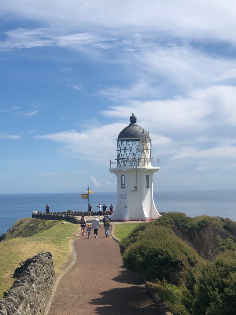
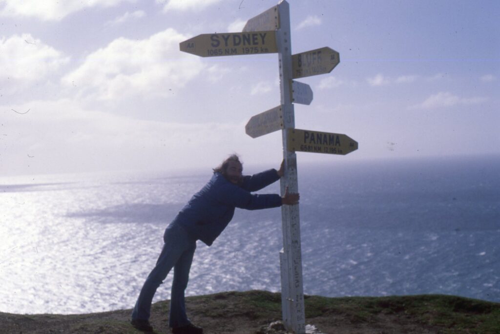
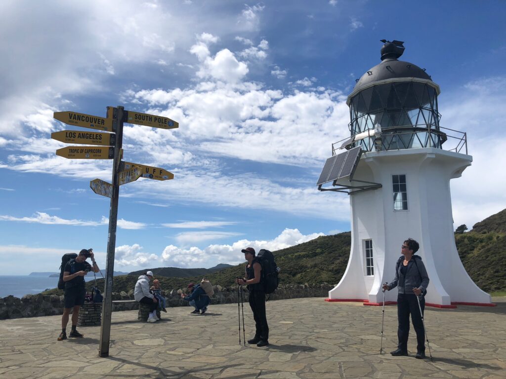 For Steve it was a special feeling to be there because he first visited Cape Reinga 44 years ago. He noted many subtle changes.
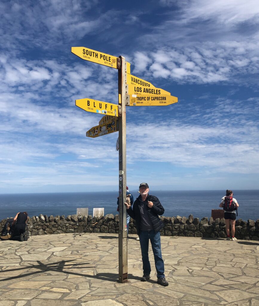
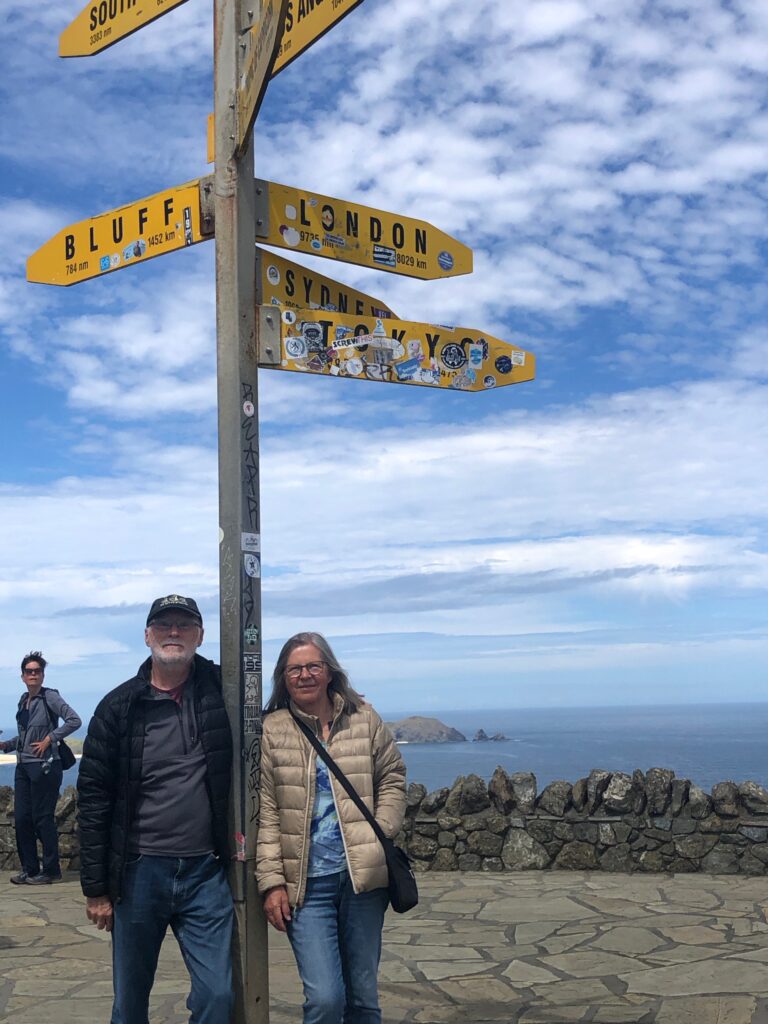
 And I was happy to finally see the place he talked a lot about, and stand beside him by the sign.
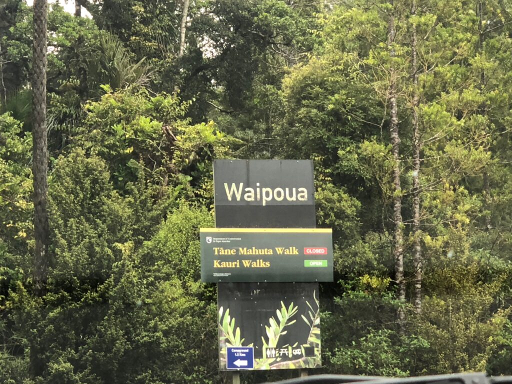
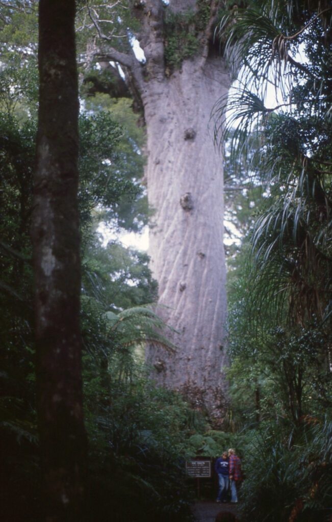
 Our next destination was the Waipoua Forest on the west coast on the Northland Region. We wanted to see New Zealand’s large living kauri trees. These trees can be 50 meters tall, have trunk girths up to 16 meters, and can live for more than 2000 years.
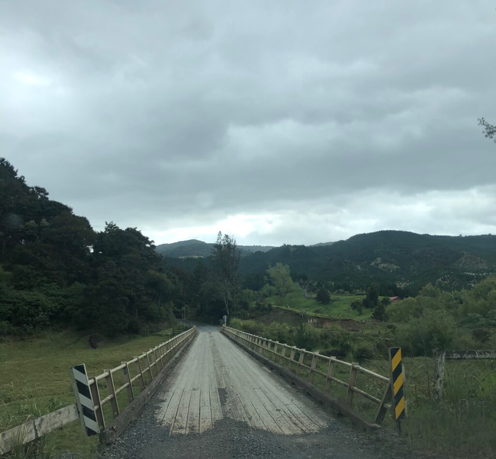
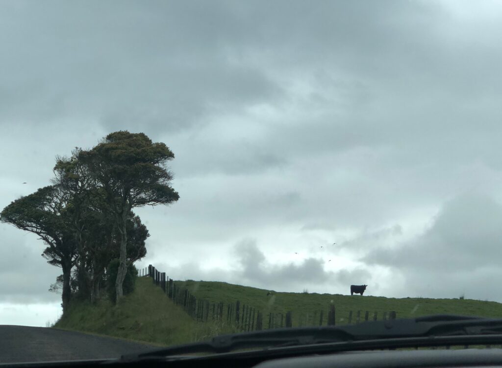
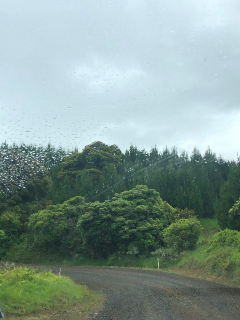
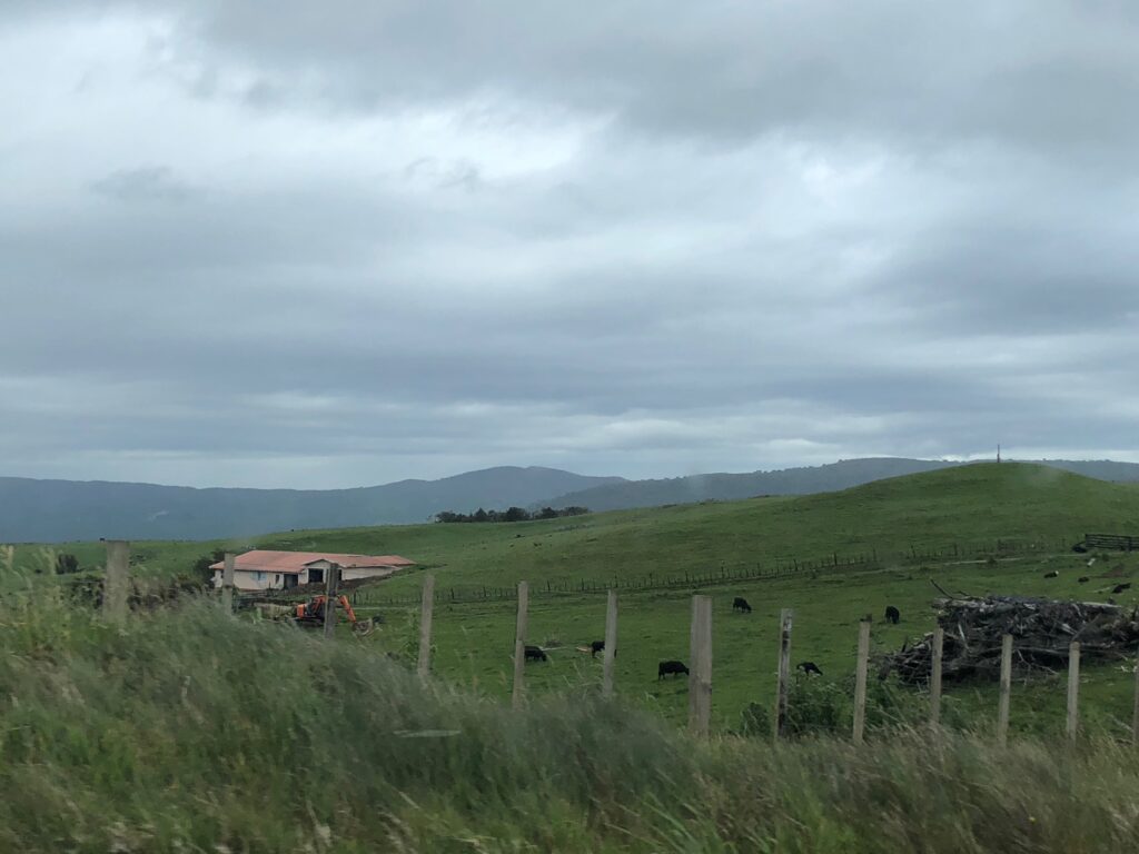
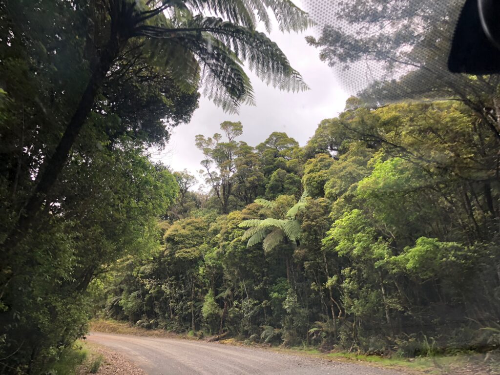
 On our drive Google maps sent us through a shortcut. A shortcut through an incredibly beautiful, but spooky, nobody around type of landscape – in the rain. Winding roads high in the mountains, occasional cows, and one farm house. I had butterflies in my stomach the whole time!
 And apparently, we didn’t do our research beforehand, because when we finally arrived we learned that the walking tracks were closed due to a die-back disease. Oops! But Steve had a good conversation with a ranger and we had a short walk to a campsite.
 To illustrate what we missed, here is a photo of Tane Mahuta (“God of the Forest”), the largest kauri tree known to stand today. Its age is estimated to be between 1,250 and 2,500 years. The photo is from Steve’s archives – he took it 44 years ago on his visit to New Zealand.
Reached our motel in Dargaville just before 6. We were completely exhausted, ready for a quick dinner (sandwiches from a grocery store) and a good night’s sleep.
